Industries
Kanda Idea, over these years, experiences many industries and conquer domains field by field and practice a wide range of territory.
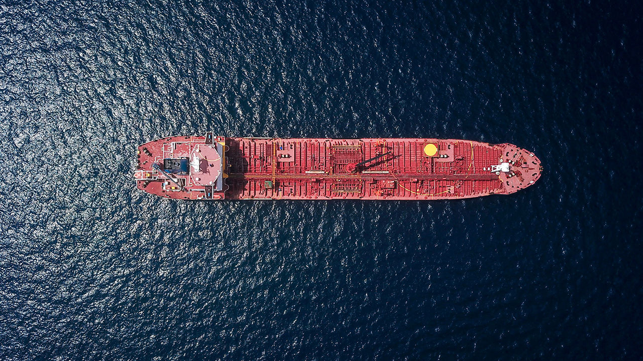
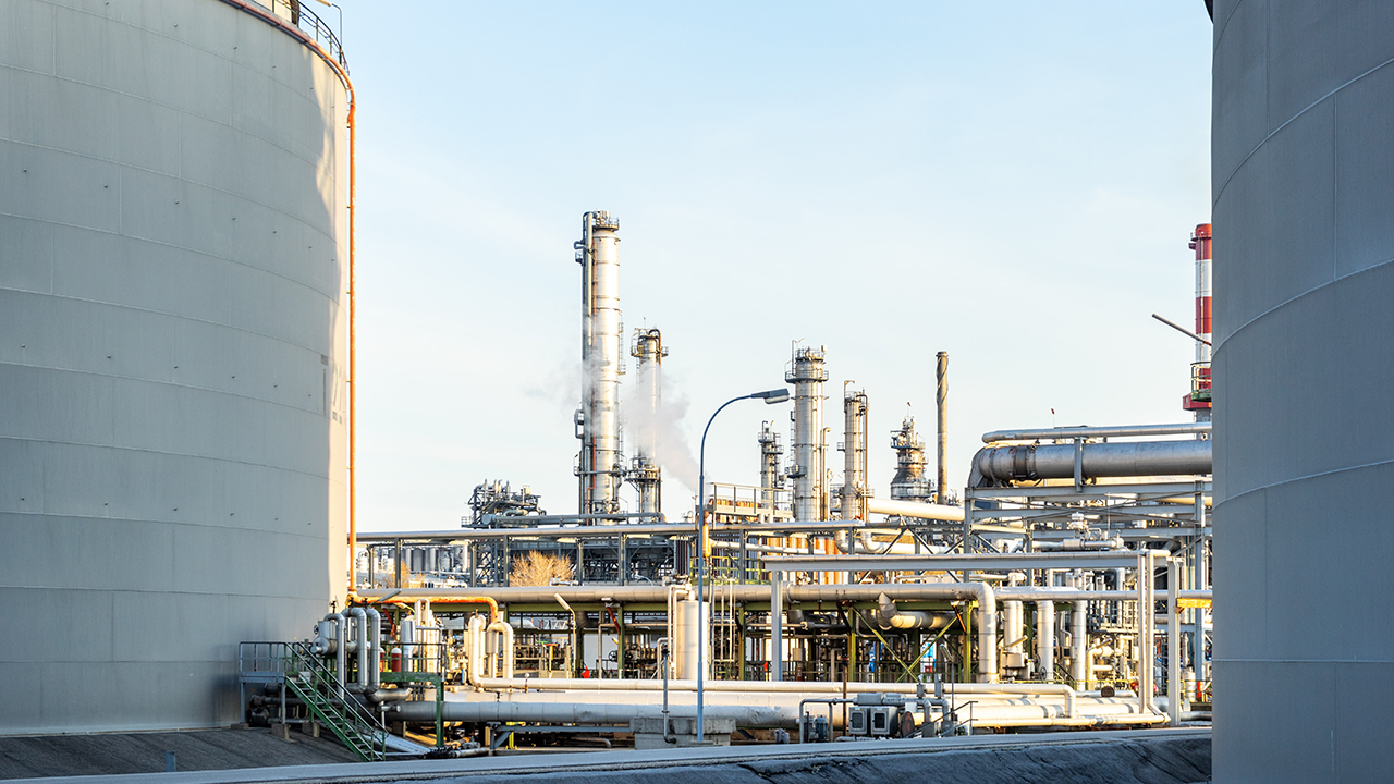
Kanda Idea has started its journey from oil, gas and petrochemical industry and then continues in GIS & Geomatics and now cruising in maritime and ship tracking.

Industries
Kanda Idea, over these years, experiences many industries and conquer domains field by field and practice a wide range of territory.
Kanda Iidea has started its journey from oil, gas and petrochemical industry and then continues in GIS & Geomatics and now cruising in maritime and ship tracking.
Projects
You can see some of our Maritime and Ship tracking projects in this section
Maritime & Ship Tracking
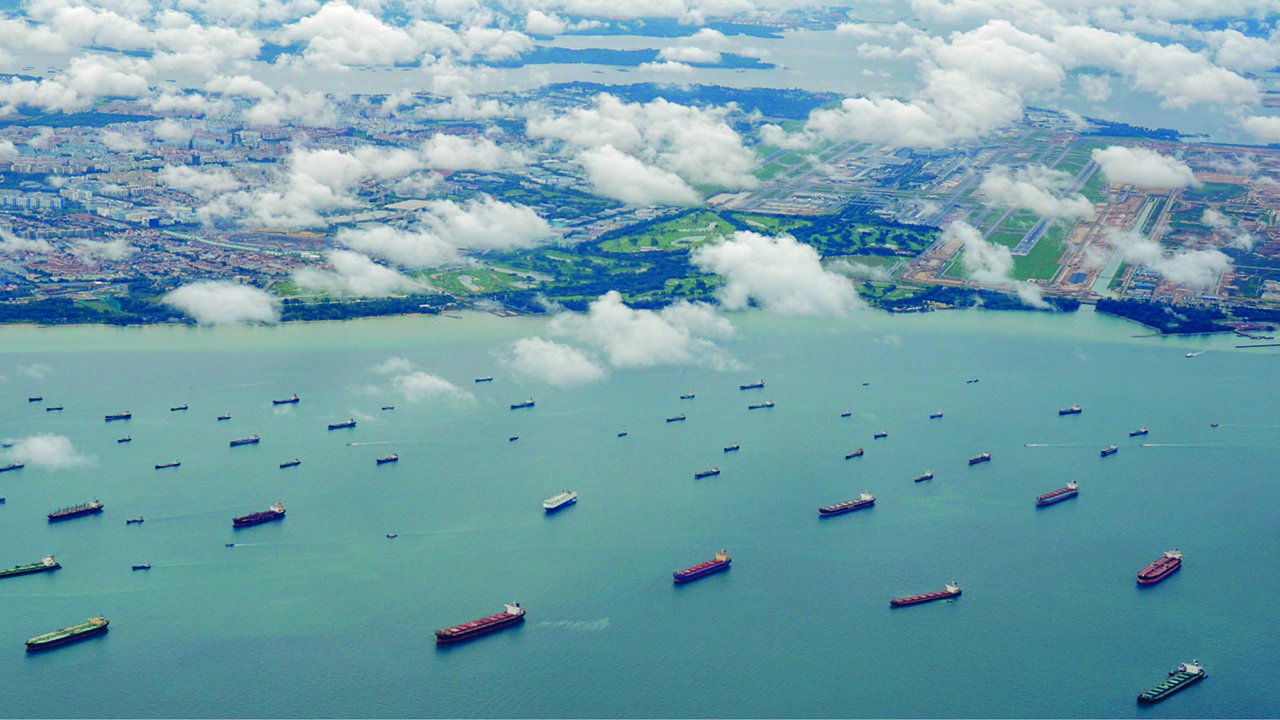
Huge part of transportation of goods and natural materials which the world depends on them, are moving and handled by shipping industry.To control all the shapes on the International seas and roots that system needs Hi-Tec Solutions, some of them are GPS,AIS and internet based Communications. in such Communications the clients all over the world will be see and control the ships whenever they want. they can control the rate of sending the messages from ships and also check the roots which the ships are moving in and even can be notified with ships states. for example if their ships encounter with some dangerous positions they can do some emergency efforts for changing the circumstances and then they will be able to change the result which if there was not a technology for inform them the result would be terrible. nowadays after growing technology, especially in the area of satellite and internet control of moving objects for example ships, here it will be by very easy for operators in the port state to control the process which happened on the seas and Far Away oceans.
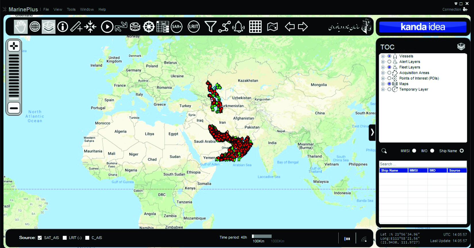
02 MarinePlus
the competition now is between the companies that can provide a complete and economic services for countries and shipping groups which are main users of this technological base tools. besides the above explanations sometimes operators need to know which routes applied from shapes and and how much times this motions take ,for thess applications they can easily use some softwares or online services which deserved for fast calculating of everything they want. for example in a very short part of time ,or even a second you can now where are your ships and how much nautical miles they moved.
Don't miss job
You can handle!


